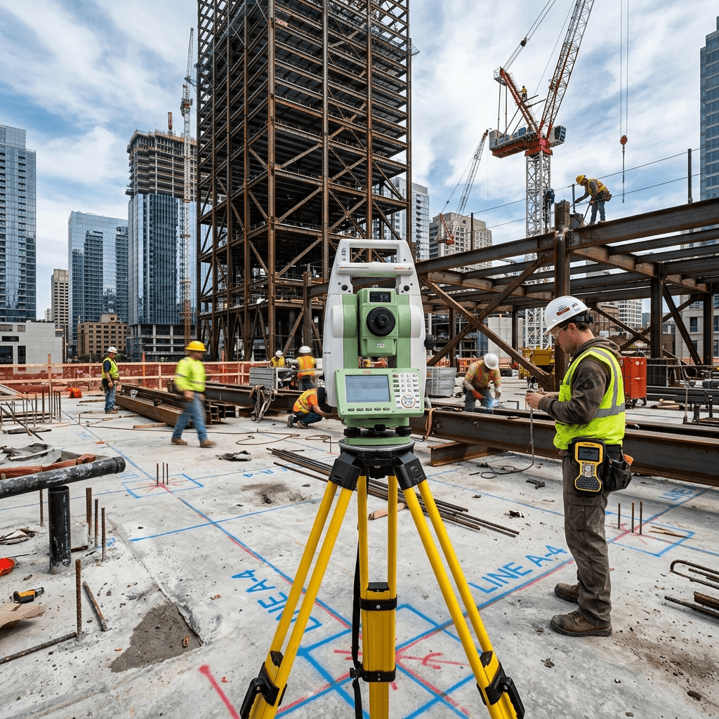
What our construction staking include
True Surveying plans each project around the property records, field access, municipal requirements, and final documentation needed by your owner, architect, lawyer, lender, engineer, or contractor.
Construction staking translates approved drawings into field control points for foundations, gridlines, utilities, roads, and structural elements. Our layout crews establish dependable site control, stake design coordinates, and verify critical dimensions so contractors can build from accurate reference points.
True Surveying plans each project around the property records, field access, municipal requirements, and final documentation needed by your owner, architect, lawyer, lender, engineer, or contractor.
Staking normally happens after drawings are approved and before excavation, forming, utility installation, or any work that depends on precise layout.
Yes. As-built checks can confirm whether foundations, columns, utilities, or grades match the approved plans before the next construction phase.
Survey Real Property Reports (SRPR) define legal property limits, structures, easements, and encroachments for transactions, fences, additions, and disputes.
terrainTopographic surveys map elevations, grades, surface features, utilities, trees, and structures for architects, engineers, and municipal approvals.
domain_verificationALTA/NSPS commercial surveys document boundaries, improvements, easements, access, encroachments, and title-related matters for commercial transactions.