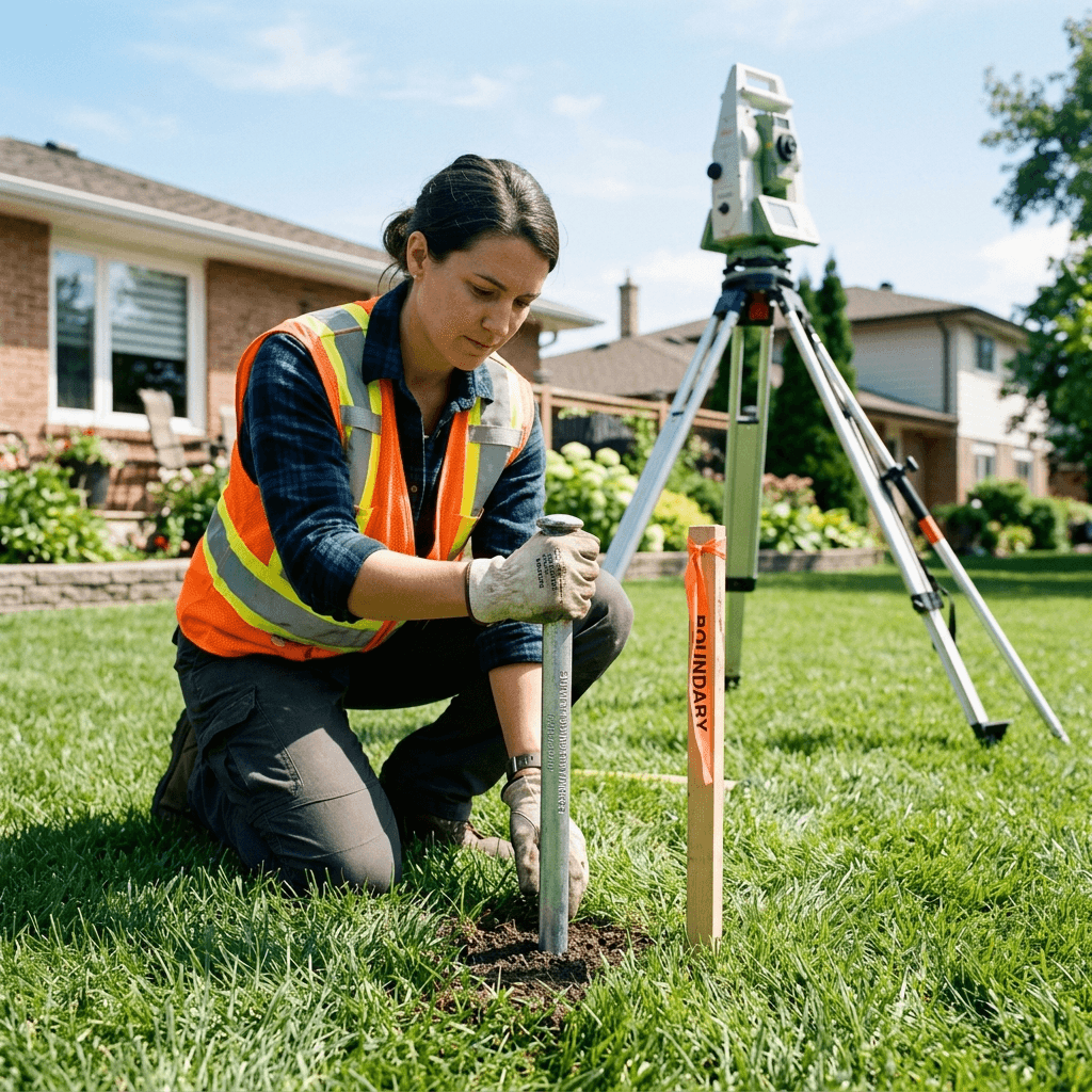
What our boundary surveys include
True Surveying plans each project around the property records, field access, municipal requirements, and final documentation needed by your owner, architect, lawyer, lender, engineer, or contractor.
Survey Real Property Reports (SRPR) define legal property limits, structures, easements, and encroachments for transactions, fences, additions, and disputes. Our boundary survey process combines title research, field measurement, monument recovery, and OLS review to produce permit-ready and transaction-ready boundary documentation.
True Surveying plans each project around the property records, field access, municipal requirements, and final documentation needed by your owner, architect, lawyer, lender, engineer, or contractor.
A boundary survey is typically needed before building a fence, buying or selling a property, resolving a lot line dispute, or applying for a permit that depends on setbacks.
Yes. A Survey Real Property Report prepared under the supervision of a licensed Ontario Land Surveyor is the recognized standard for documenting property boundaries.
Topographic surveys map elevations, grades, surface features, utilities, trees, and structures for architects, engineers, and municipal approvals.
architectureConstruction staking translates approved drawings into field control points for foundations, gridlines, utilities, roads, and structural elements.
domain_verificationALTA/NSPS commercial surveys document boundaries, improvements, easements, access, encroachments, and title-related matters for commercial transactions.