Topographic Surveys for Toronto Infill Design: What Architects and Owners Need
See how topographic surveys support Toronto infill homes, grading plans, drainage decisions, tree protection, and architectural design.
Get a Free Quotearrow_forward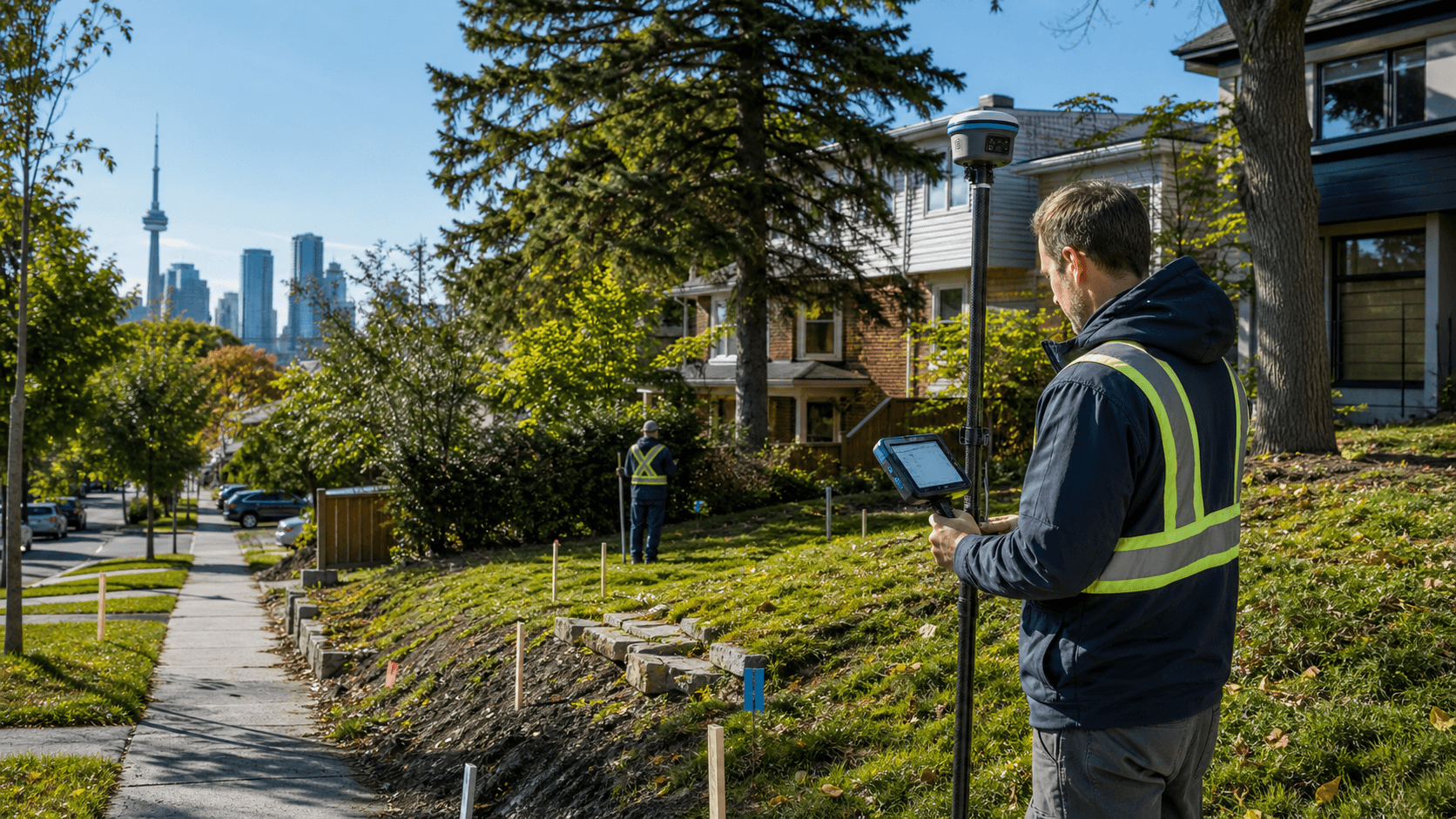
Good design starts with existing conditions
Toronto infill projects are rarely blank slates. A narrow lot may contain mature trees, sloping grades, retaining walls, old drainage patterns, sidewalk constraints, overhead utilities, neighbouring structures, and laneway access. Before an architect can confidently place a new home, addition, basement entrance, garage, or landscape feature, the team needs to understand what already exists. A topographic survey provides that measured foundation by locating visible site features and elevations in a form designers and engineers can use.
For owners, the survey can feel like an early technical step, but it often saves time throughout the project. It reduces the chance that drawings are developed around inaccurate grade assumptions. It helps the design team coordinate site access, drainage, tree protection, and building placement. It can also support conversations with engineers, arborists, planners, and contractors because everyone is looking at the same measured base information instead of separate site notes.
What a topographic survey includes
The exact scope depends on the property and project, but a topographic survey commonly captures ground elevations, building outlines, fences, retaining walls, driveways, sidewalks, curbs, utility features visible at the surface, significant trees, and other improvements. The result is often delivered as a CAD base plan and related files that the design team can reference. When boundary information is also required, the scope may be coordinated with boundary survey work so the site model is tied to legal property limits.
That combination is especially valuable for infill design. The architect needs to know where the property sits legally, while the engineer needs to know how water, grades, entrances, and structures relate physically. A measured topographic plan helps both groups work from one coordinated source. The earlier that source is available, the easier it is to avoid redesign caused by late discoveries.
- check_circleExisting ground elevations and grade breaks.
- check_circleVisible site features such as fences, walls, curbs, walks, and driveways.
- check_circleBuilding outlines, hardscape, access points, and surface utility features.
- check_circleTree and landscape features when included in the requested scope.
Why infill lots are sensitive
A detached replacement, addition, or laneway-related project can involve small grade changes with large consequences. A few inches may affect a basement entrance, garage slab, accessible path, retaining wall height, or drainage direction. On tight urban lots, water cannot simply be pushed toward a neighbour or public sidewalk. Designers need to manage elevations carefully, and that work begins with reliable existing grade data.
Infill projects also sit close to neighbouring homes. Window wells, side-yard swales, roof leaders, patios, and retaining features must be planned with care. A topographic survey gives the team a measured picture of these relationships. It will not make design decisions by itself, but it gives the professionals the information required to make those decisions responsibly.
The role of survey data in grading and drainage
Grading and drainage are among the most practical reasons to order a topographic survey early. Engineers and designers need to understand how water currently moves across the property and where proposed changes may alter that movement. Existing elevations help inform swales, catch basins, retaining walls, driveway slopes, basement walkouts, and finished floor relationships. Without reliable elevation data, the grading plan can become an educated guess.
For homeowners, that risk shows up as delays, redesign, extra excavation, neighbour complaints, or site work that costs more than expected. A survey does not remove every construction uncertainty, but it lowers the chances that major grade issues are discovered after design decisions are complete. It also helps contractors price the work with better information, which can improve budget conversations before the project is underway.
How architects use the survey
Architects use a topographic survey as the base layer for concept design and technical drawings. It helps them position the proposed building, understand setbacks, coordinate entrances, check exterior stairs, plan hardscape, and anticipate conflicts. The CAD file can be referenced directly, reducing the need to redraw site features from photos or rough measurements. That gives the design process a cleaner start and a stronger connection to the real site.
A strong survey base is also useful when multiple consultants join the project. The arborist, civil engineer, structural engineer, planner, and contractor may all need to interpret site conditions. When each professional works from the same measured plan, coordination improves. Miscommunication does not disappear, but the project team has a common reference point.
When owners should order it
Owners should usually order a topographic survey before schematic design goes too far. If the project involves a new home, major addition, basement entrance, garage, significant landscaping, pool, retaining wall, or any work that changes drainage, the survey should be an early step. It is also useful before purchasing a property for redevelopment because it can reveal site constraints that are hard to judge during a showing.
To request a clear quote, share the property address, proposed project type, expected design deadlines, and any known municipal or consultant requirements. If you already have an old survey, grading plan, architectural sketch, or title information, include it. True Surveying can then recommend whether the scope should include boundary confirmation, full topographic detail, selected feature pickup, or coordination with construction layout later in the project.
A practical investment in fewer surprises
Topographic surveys are not just technical paperwork. They are a design risk management tool. They give the project team the data needed to respect grades, drainage, trees, structures, and access conditions before money is spent developing a design that may not fit the site. For Toronto infill projects, where every metre matters, that early clarity can be the difference between steady progress and repeated revision.
If your planned project changes the way the property is built, drained, accessed, or landscaped, ask for a topographic survey quote before the design calendar gets crowded. The right survey scope can help your architect and engineer move with more confidence from concept to permit to construction.
It also helps owners have better budget conversations. When the team understands the existing slope, retaining conditions, hard surfaces, and access constraints, they can discuss excavation, servicing, drainage, and grading with fewer unknowns. That does not guarantee a fixed construction price, but it reduces the number of assumptions hidden inside early estimates. For many infill owners, that alone is worth ordering the survey before the design process becomes too committed.
Get a free survey quote for your property
Share the property address, project type, deadline, and any drawings or old surveys. True Surveying will help define the right service for your goal.
Get a Free Quoterequest_quoteArticle FAQ
Is a topographic survey the same as a boundary survey?expand_more
No. A topographic survey focuses on existing physical features and elevations. A boundary survey determines legal property limits. Many projects benefit from both.
Do architects need CAD files from the survey?expand_more
Most design teams prefer CAD files because they can use the survey as a base for drawings, grading coordination, and consultant work.